 |
| Mt. Auburn Incline construction via CincinnatiViews.net |
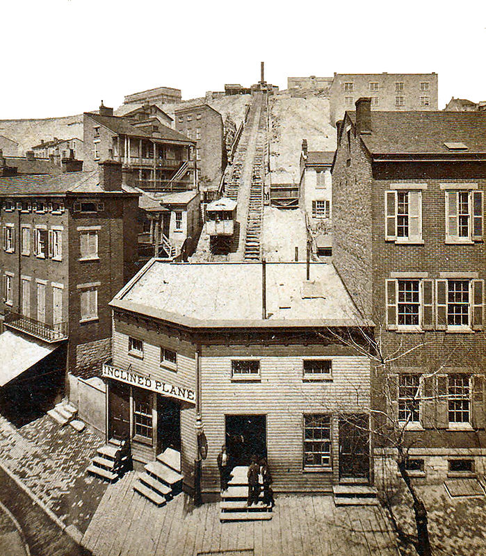
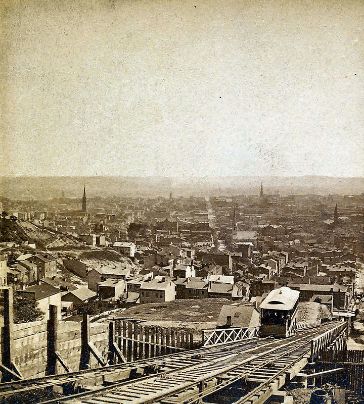
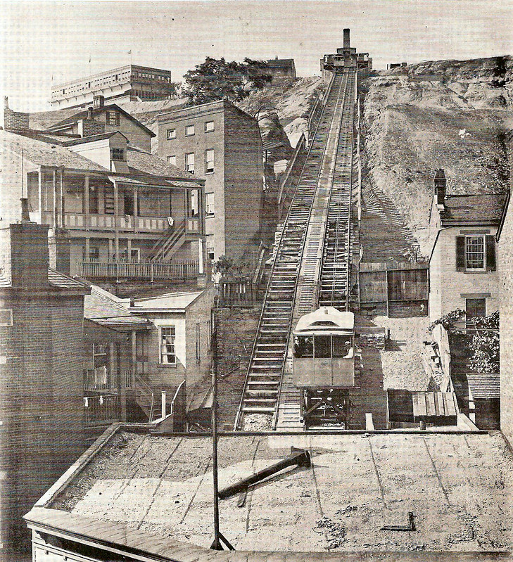
Mount Auburn Street Railway rain from Fifth and Main Streets Downtown to Auburn Avenue on top of the hill. The difficulties of mounting Jackson Hill, particularly in the winter, led the electric street to adapt an incline system, inspired by Pittsburgh's Monongahela Incline which was erected in 1870. Two years later, Cincinnati opened Mt. Auburn Incline.
 |
| via CincinnatiViews.net |
 |
| via CincinnatiViews.net |
Like other inclines, Mt. Auburn built an entertainment establishment at the top of the hill: Lookout House. Six hundred passengers a day and a million persons each year rode the incline and likely patronized the resort. Sunday became their busiest day, as the Lookout House boldly ignored liquor laws and served beer and wine on the Sabbath.
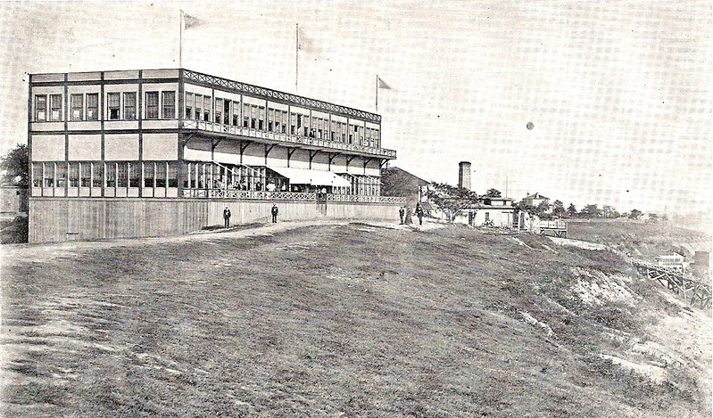 |
| Lookout House via CincinnatiViews.net |
A series of untimely events led to Mt. Auburn Incline's demise. In October 1889, eight passengers were aboard the car when a mechanical error launched it full speed from the bottom of the hill, sending it crashing into the top station. After a moment of dangling, the car broke loose and plummeted back to the bottom where it collided with a grocery store and sent the roof cascading 100 feet down Main Street. Three days after Mt. Auburn Incline reopened from the horrific accident, then-judge William Howard Taft ruled against the incline in a court case regarding vehicular interference with telephone lines. It closed permanently in 1898.
Our
journey to the top of Cincinnati's steepest incline began in an
inconspicuous vacant lot at the corner of 8th Street and Glenway Avenue.
Marked only with a billboard, it was hard to imagine the site once
being a bustling venue of commerce and transportation on the West Side.
Along the way, we snapped pictures of the remnants, including stone
walls, wooden
stringers, concrete with structural imprints, sheave wheels, and even old rail! - See more at: http://www.cincywhimsy.com/2013/07/price-hill-incline-climb.html#sthash.8fstqzqR.dpuf
 |
| Mt. Auburn Incline Wreck via CincinnatiViews.net |
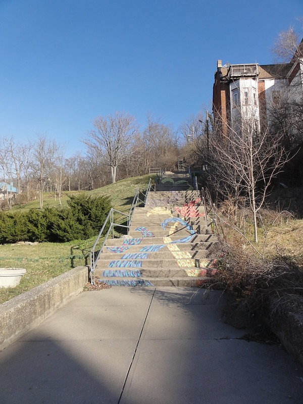
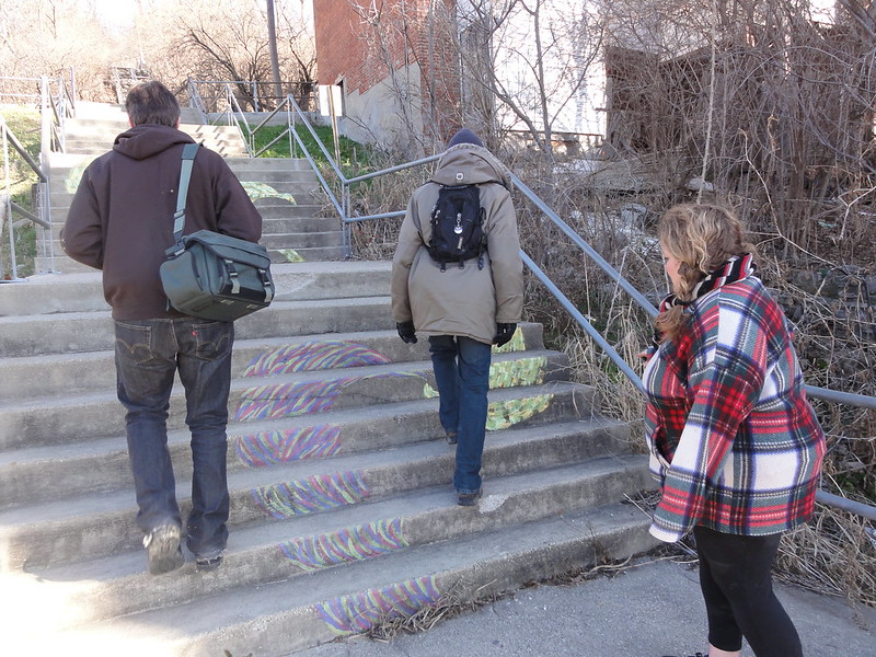
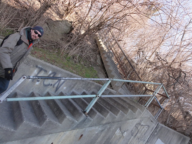
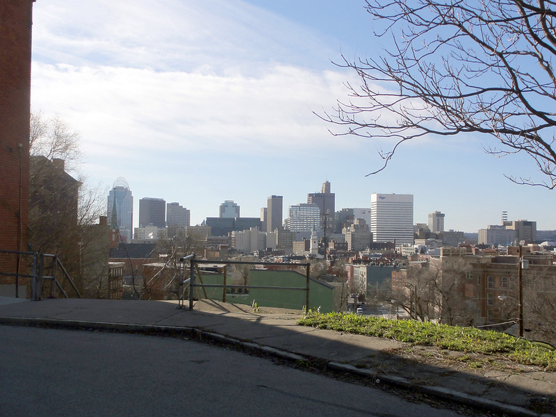
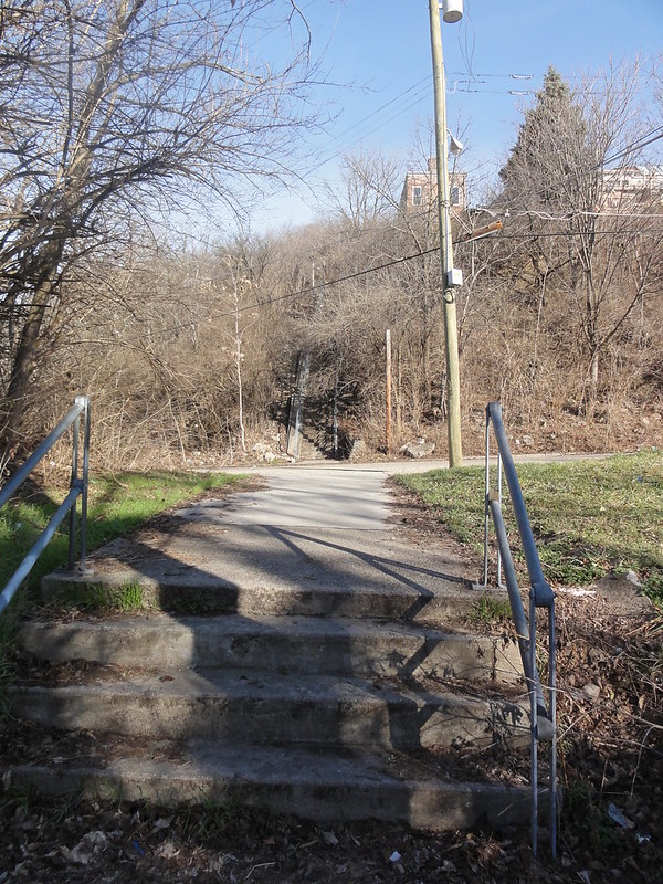
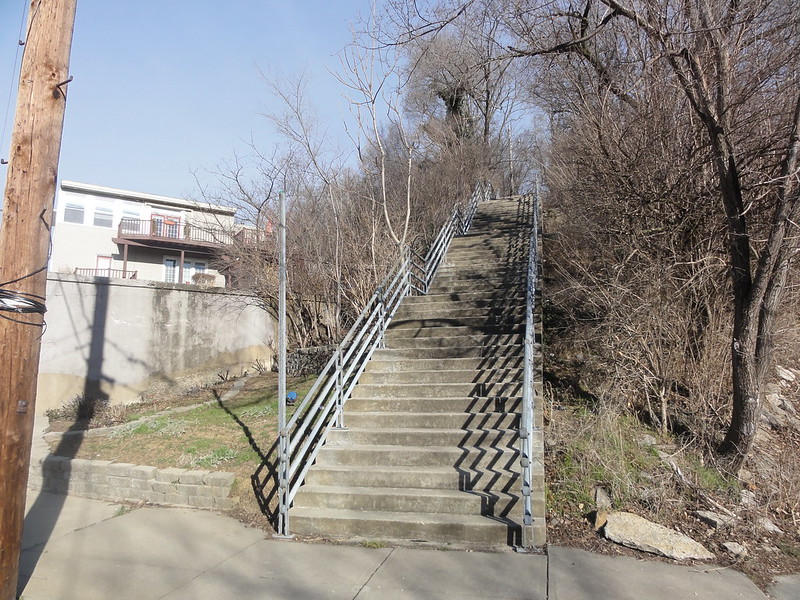
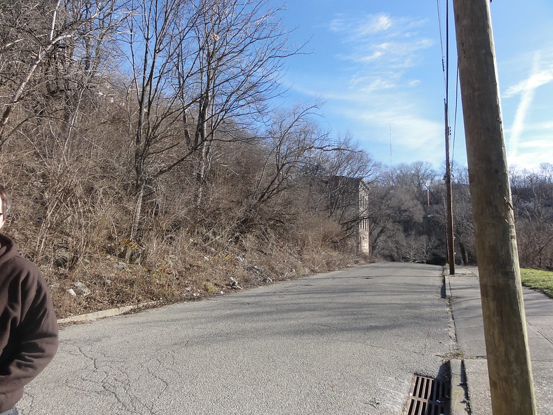
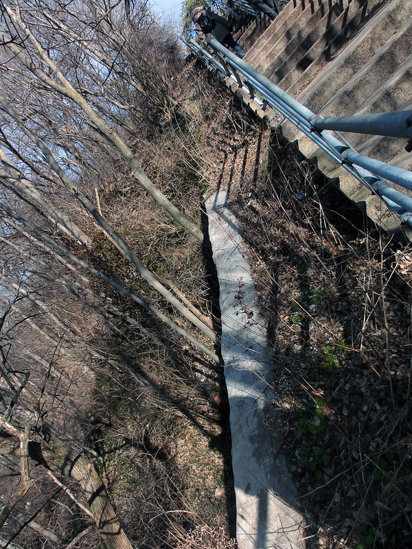
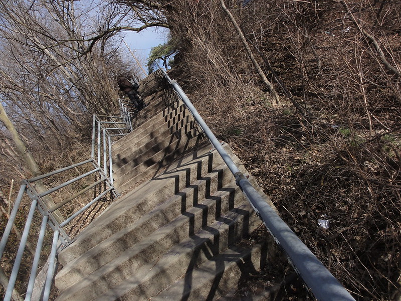
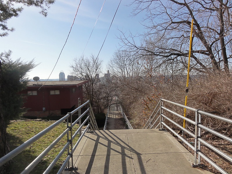
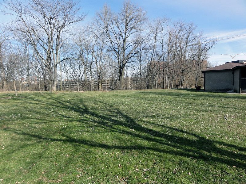
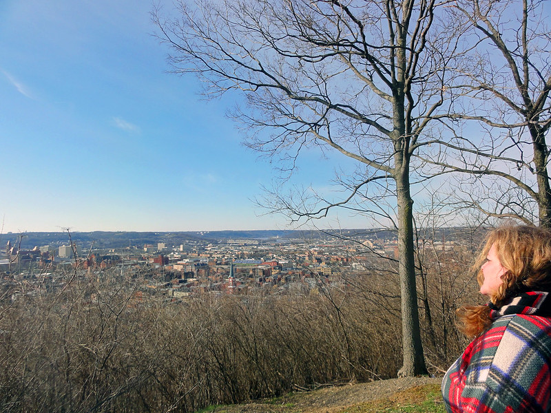
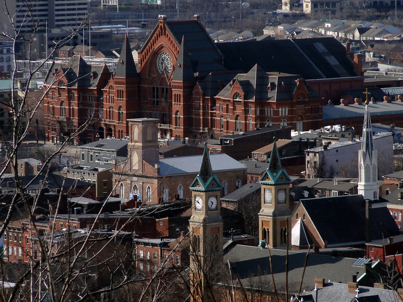
As part of the Cincinnati Incline Climb, our journey to the top of Cincinnati's first incline began at a stairwell at Main and Mulberry Street. Now known as the Main Street Mosaic Steps, this quiet area was once one of the main transit arteries of Cincinnati. Remnants of the incline can still be viewed from the foundation, a reminder of the bygone era when the Queen City was once called "The Paris of America."
MT. AUBURN INCLINE
Hike Difficulty Level: ★☆☆☆☆
Length: 960 feet